Trending

Aspen's summer trails are more forgiving than the town's glossy reputation suggests. You do not need alpine experience or expensive kit to enjoy the mountains here — a pair of broken-in trainers, a bottle of water and a free morning will get you a long way. What you do need to respect is the height. Aspen sits at roughly 2,400 m (7,900 ft), high enough that a gentle walk can feel oddly hard on day one. Plan around that, and everything else falls into place.
Few mountain towns make it this easy to start walking. The Rio Grande Trail runs straight through Aspen beside the Roaring Fork River, and several other trailheads are close enough to reach on foot or by local bus, so you can leave the car at the hotel.
The valley floor is broad and mostly level, which means you can build confidence on flat riverside paths before attempting anything with a proper climb. Views arrive early, too: even low-level walks serve up creek, aspen groves and the ridgelines above town.
Altitude is not a measure of fitness. At 2,400 m the air simply contains less oxygen with every breath, so your heart and lungs work harder for the same effort. Fit runners feel it just as much as anyone else, and being young does not exempt you.
Mild altitude symptoms usually appear in the first day or two: a dull headache, tiredness, breathlessness on slight effort, poor appetite, disturbed sleep or a bit of dizziness. They normally ease as your body adjusts. If a headache will not shift, or you start vomiting, feel confused, or become breathless while resting, stop climbing and get to lower ground. Severe symptoms need urgent medical help.
If you have a heart or lung condition, are pregnant, or have struggled at altitude before, speak to your doctor before you travel. That conversation is worth having well before you book anything.
Summer afternoons in the Rockies frequently build into thunderstorms, particularly from July onwards. Start early, aim to be down off exposed ridges and passes by midday, and turn around at the first rumble of thunder rather than pressing on to a summit.
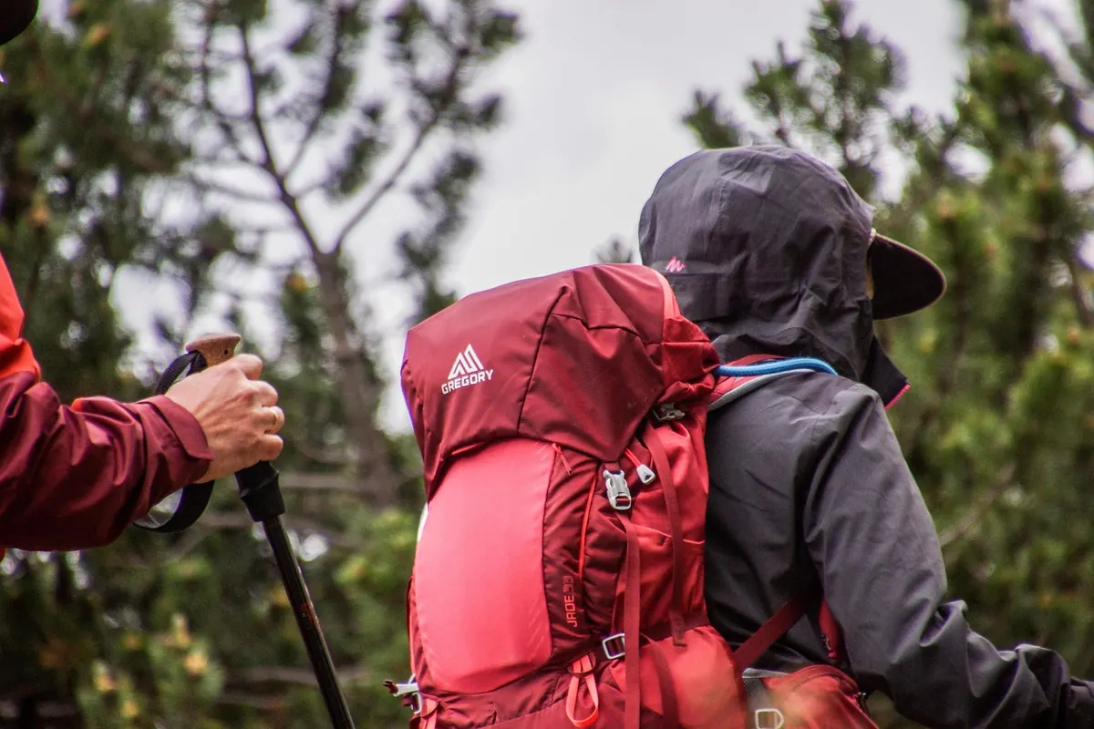
The sun is fierce at this elevation, so a hat, sunglasses and high-factor sunscreen are not optional. Evenings can drop sharply, so carry a light insulating layer as well as a waterproof shell. A small daypack with water, snacks, a charged phone and an offline map covers most day walks.
Black bears and moose live in this valley. Make a little noise on quiet trails, store food properly and never approach or feed wildlife. If you meet a bear, give it space and back away calmly. Dogs should stay on a lead where required, both for wildlife and for other walkers.
Walkers heading uphill generally have right of way, and staying on the trail protects fragile alpine plants that take years to recover. Take everything out with you, including fruit peel and wrappers.
Day one: fly or drive in, drink water, walk the Rio Grande Trail for an hour, eat early, sleep. Day two: drive or bus to Maroon Lake, wander the scenic trail, then rest in town. Day three: try Smuggler Mountain Road, turning back whenever the talk test fails. By day four you will probably feel ready for something like the Grottos or a longer stretch of the river path, and you can judge the bigger trails on their merits.
Give yourself permission to go slower than you would at home. That is not a lack of fitness; it is simply how bodies behave at 2,400 m. If you feel unwell and it is not improving, seek advice from a doctor or pharmacist locally rather than pushing through.
Photo: rottonara / Pixabay